Village History
A Brief History of Upton Grey
This brief history of the village was written by Trevor Hart (01256 862397) and is displayed in the telephone box near the Hoddington Arms.
The earliest evidence of human occupation is pre-historic, in the form of worked Stone Age flints, a number of Bronze Age burial mounds and Iron Age earthworks.
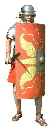
The Romans also left their mark on the land that is now occupied by Upton Grey. They built a road from the major tribal city of Calleva Atrebatvm (Silchester) that crossed the village between the pond and the pub, precisely where this telephone box now stands, on its way to Noviomagvs Regnorvm (Chichester). Such roads required the clearance of trees and undergrowth to a width of 19 metres and the creation of a central agger of gravel to provide a sound surface. This was suitable for marching legions, which was the principal reason why the roads were built.
Although the road ran diagonally through the centre of the parish, the evidence of a Roman presence is close to the parish boundaries. A coin hoard was found near Bidden Water on the north-east boundary; pottery and tiles were found in Powntley Copse, close to the southern boundary; pottery was found north of Dean’s Copse, near the eastern boundary; and pottery, Samian ware and tiles, which suggest that there was settlement there, were found near Sturt’s Copse on the north-west boundary.
The village of Upton Grey as we know it today was formed from the two Saxon manors of Odingetone (Hoddington), which at the time of Domesday (1086) was the principal manor and held by the church of St Swithin in Winchester and Aoltone (Upton), held by the Norman Hugh de Port. His descendants remained overlords of Upton for two centuries, by which time it had become the principal manor of the settlement. The de Grey family, also from Normandy, acquired the manor in 1272 and the suffix ‘Grey’ derives from their period as overlords.
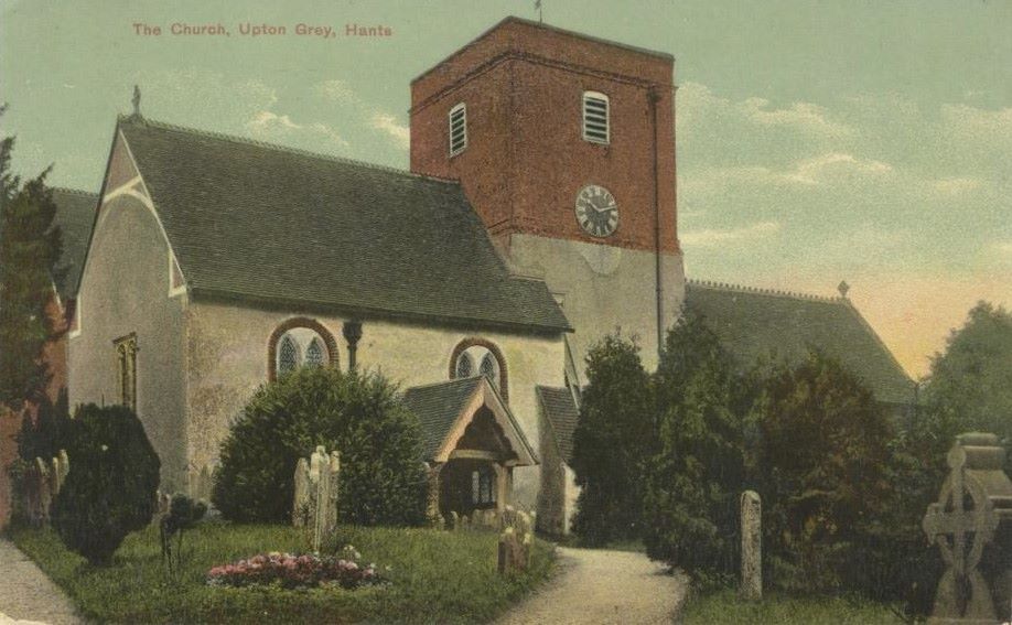
There was a church in Upton at the time of Domesday, but the present nave and Norman arch date from around 1120 and the chancel from the early 1200s; subsequent additions and alterations include the 1690 addition to the tower and the Hoddington Aisle, added in 1715 by John Limbrey. There is a surviving fragment of text on the wall of the nave, which dates from before 1340, and “translated” reads “For God’s love beware by me” and originally was most likely surmounted by a painting.
The population of the village was about 175 in the 11th century, before being probably halved by the Black Death in the 14th century and only recovering to around 175 again by the mid 17th century; it is now approaching 700.
During the Civil War (1642-1651), the village was used as a staging post for Parliamentary troops from Farnham Castle during the 2½-year siege of Basing House and several mislaid cannonballs still survive.
There are plaques in the church recording the names of Malachy Dudenny and later the Opie family, who were lords of the Upton manor from 1646 into the 18th century. Later lords of the manor include Adolphus Meetkirke, who possibly built Upton Grey House in the late 18th century, John Hanbury Beaufoy, Admiral Sir William Fanshawe Martin and Charles Holme, who had the manor house extended and redesigned in 1907 in the “Arts and Crafts” style. He was also responsible for Gertrude Jekyll designing the splendid listed garden, which has been fully restored in the last 20 years. The other family of note is the Matthew/Limbrey/Lutley/Sclater/Basing family, which owned Hoddington House and that manor from 1637 to 1944 and there are numerous memorials to them in the church.
From Saxon beginnings until the 1950s, Upton Grey has been an agricultural community, with 95% of the population working on the land or for the owners of that land. It was largely self-sufficient, with several shops, a tailor, two blacksmiths, a wheelwright, a shoemaker, a butcher and a baker – but candlesticks were brought in from Odiham. The Hoddington Arms (originally The Horseshoes Inn) was built in the late 18th century and the first landlord, John Woodman, made his own beer, before Samuel Mummery established a brewery at The Village Farmhouse in the 1860s. John Woodman’s son was killed at Waterloo and his widow occupied a house in the grounds of Upton Grey House, on the bend opposite the Greywell Road, known as “Waterloo Cottage” during the 19th century. “Woodmanfield” is named after the field owned by John Woodman.
A Reading Room was established towards the end of the 19th century, located in the rear of Compton House. The village lost 15 men in the Great War, including the vicar’s son – about half of their generation. There used to be a thatched Wesleyan Chapel half way up Church Street, but like the workhouse where the scaffolding yard is now located, it fell into disrepair and burned down by the 1960s. The Village Hall was built on the site of the old Boys’ School in 1925, the site being a gift from Charles Holme. The old Girls’ School was opposite the present site of the village shop, which was re-located from the Old Bakery in 1997.
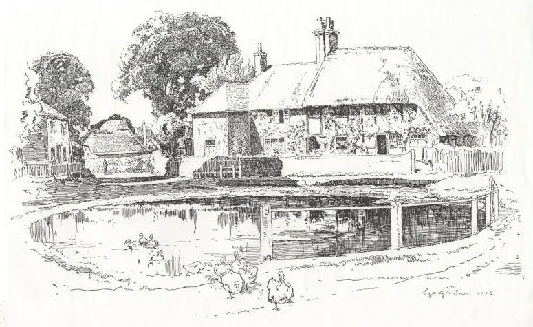
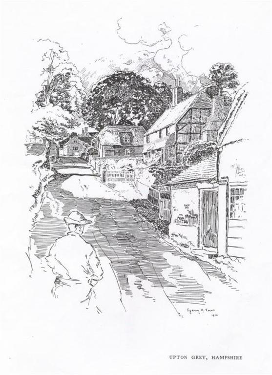
The majority of the settlement in the village is within the Conservation Area. There are 41 listed buildings in the village, including the Church of St Mary which is listed Grade I and Hoddington House which is listed Grade II* and dates from the late 17th century with 19th century additions. The majority of the remaining listed buildings are located within the central area of the village along Church Street and in the area close to the pond.
Trevor Hart © 2023


